
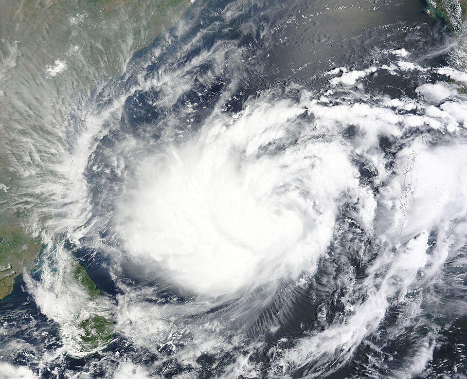
Severe Cyclone Murasu crossed the south Andhra Pradesh coast near Ongole early on Tuesday, 3 November, bringing heavy rain and gale-force winds to coastal districts, the India Meteorological Department (IMD) said.
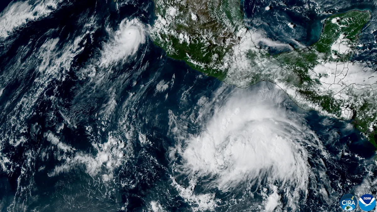
According to the IMD’s Tropical Cyclone Advisory No. 14, issued at 7.40 am on 3 November, the storm crossed the coast between Nellore and Narsapur, close to Ongole, between 3.30 am and 5.30 am IST, with sustained winds of 100-110 kmph gusting to 120 kmph.
The landfall process itself began at around 1 am, as the storm’s spiral bands and wall cloud moved over the coastline before its centre reached land. By 5.30 am, the centre was about 20 km north-east of Ongole and 40 km south-west of Bapatla, moving north-north-west at 8 kmph.
What the IMD forecast says next
The IMD expects Murasu to weaken gradually as it moves inland. It forecast a weakening to a cyclonic storm by late morning, with winds of 80-90 kmph gusting to 100 kmph, and further weakening to a deep depression by Tuesday night, becoming a well-marked low-pressure area by Wednesday morning.
Strong winds and heavy rain were still expected for several hours after landfall, particularly over coastal Andhra Pradesh, eastern Rayalaseema and southern Telangana, as moisture over the region helped the system retain intensity for a time.
Storm surge and rainfall risks
The IMD warned of a storm surge of 1-1.5 metres above astronomical tide levels along the affected coast, with the risk of inundation in low-lying areas of south coastal Andhra Pradesh. For the Ongole area, the bulletin projected a surge of 0.5-1 metre near Kanuparti, with possible inundation extending up to 330 metres inland. These are forecast estimates, not confirmed measurements of flooding.
Heavy rainfall also affected parts of coastal Andhra Pradesh, north Tamil Nadu and Puducherry. Fishermen were advised to stay off the sea, with advisories running until 4 November for most affected waters.

Why this matters
Murasu is the second cyclone to hit India’s east coast in quick succession, following Cyclone Arnab, which made landfall in Andhra Pradesh on 28 October. The back-to-back systems have kept coastal districts on alert, with the main immediate risks after landfall being strong winds, heavy rain, localised flooding and disruption to normal life rather than the storm’s peak winds alone.
No confirmed damage or casualty toll from Murasu’s landfall was given in the IMD advisory excerpts and reports checked for this article. Any toll figures circulating separately should be treated as unconfirmed until issued by state authorities or the IMD.
What happens next
Authorities and the IMD will continue to track the weakening system through Tuesday and into Wednesday. Residents in coastal Andhra Pradesh, Rayalaseema and southern Telangana should follow local district advisories, avoid venturing into the sea, and treat flooded roads and low-lying areas with caution until the system has weakened further.
Frequently asked questions
When did Cyclone Murasu make landfall? The landfall process began at around 1 am IST on 3 November, and the storm crossed the south Andhra Pradesh coast near Ongole between 3.30 am and 5.30 am IST, according to the IMD.
How strong were the winds? Sustained winds of 100-110 kmph, gusting to 120 kmph, were reported at landfall.
Will Murasu weaken? Yes, the IMD forecast a gradual weakening through Tuesday, to a cyclonic storm by late morning and a deep depression by Tuesday night.
Sources
- India Meteorological Department, Tropical Cyclone Advisory No. 14, 3 November 2026, as reported by The Statesman: https://www.thestatesman.com/india/cyclone-murasu-latest-update-andhra-landfall-wind-speeds-and-imd-forecast-1503658230.html
- The South First, IMD landfall report, 3 November 2026: https://thesouthfirst.com/andhrapradesh/cyclone-murasu-crosses-southern-andhra-with-wind-speed-of-upto-120-kmph/
- The Economic Times, Cyclone Murasu live tracker, 3 November 2026: https://economictimes.indiatimes.com/news/new-updates/cyclone-murasu-live-tracker-latest-weather-updates-landfall-details-and-rainfall-alerts-in-andhra-pradesh/articleshow/135478475.cms
- Business Today, landfall and low-lying area warning, 3 November 2026: https://www.businesstoday.in/amp/india/story/cyclone-murasu-landfall-heavy-downpour-hits-andhra-pradesh-puducherry-imd-issues-warning-for-low-lying-areas-565272-2026-11-03
File photos only: any images used with this article are generic file photos, captioned as such, and do not depict Cyclone Murasu itself.